Site layout · Step-by-step guide
Draw a property line for your plot plan
Trace your lot boundary, name the parcel and check the distances from the building to each side.
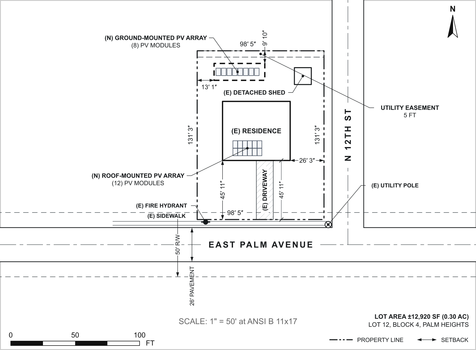
Before you start
- Have your roof or building drawn and a survey, plat or other property reference available. SDL measures the boundary you draw; it does not look up the legal property line.
- Use the reference to locate the lot corners. A fence or an edge visible in satellite imagery is not necessarily the property boundary.
1. Trace the lot corners
Open Roof layout, then Layout.
- Open the Plot plan menu and choose Property line.
- Click each lot corner in order, following your property reference.
- Click the first corner again to close the boundary. The Property line panel opens with the corner count and distances to the building.
2. Name the parcel and read the distances
The selected boundary is highlighted on the drawing. Its panel lists the distance from each lot side to the building.
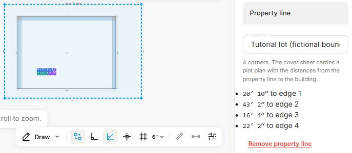
- Enter a Name, such as the lot and block number from your reference.
- Read the distance beside each numbered edge. Check that the boundary surrounds the building in the intended position.
- If a corner is misplaced, select a side of the boundary and drag the corner handle. Watch the distances update. Use Undo to restore the previous position.
These are measured distances, not a zoning approval. Compare them with the setback requirements for your project. The screenshot uses a fictional lot, not a surveyed boundary.
3. Check the saved boundary
Finish by checking that the parcel information is saved with the project.
- Wait for Saved in the top bar before leaving.
- Reopen the project and click a side of the property line.
- Confirm that the Name, corner count and distances match the boundary you intended to keep.